
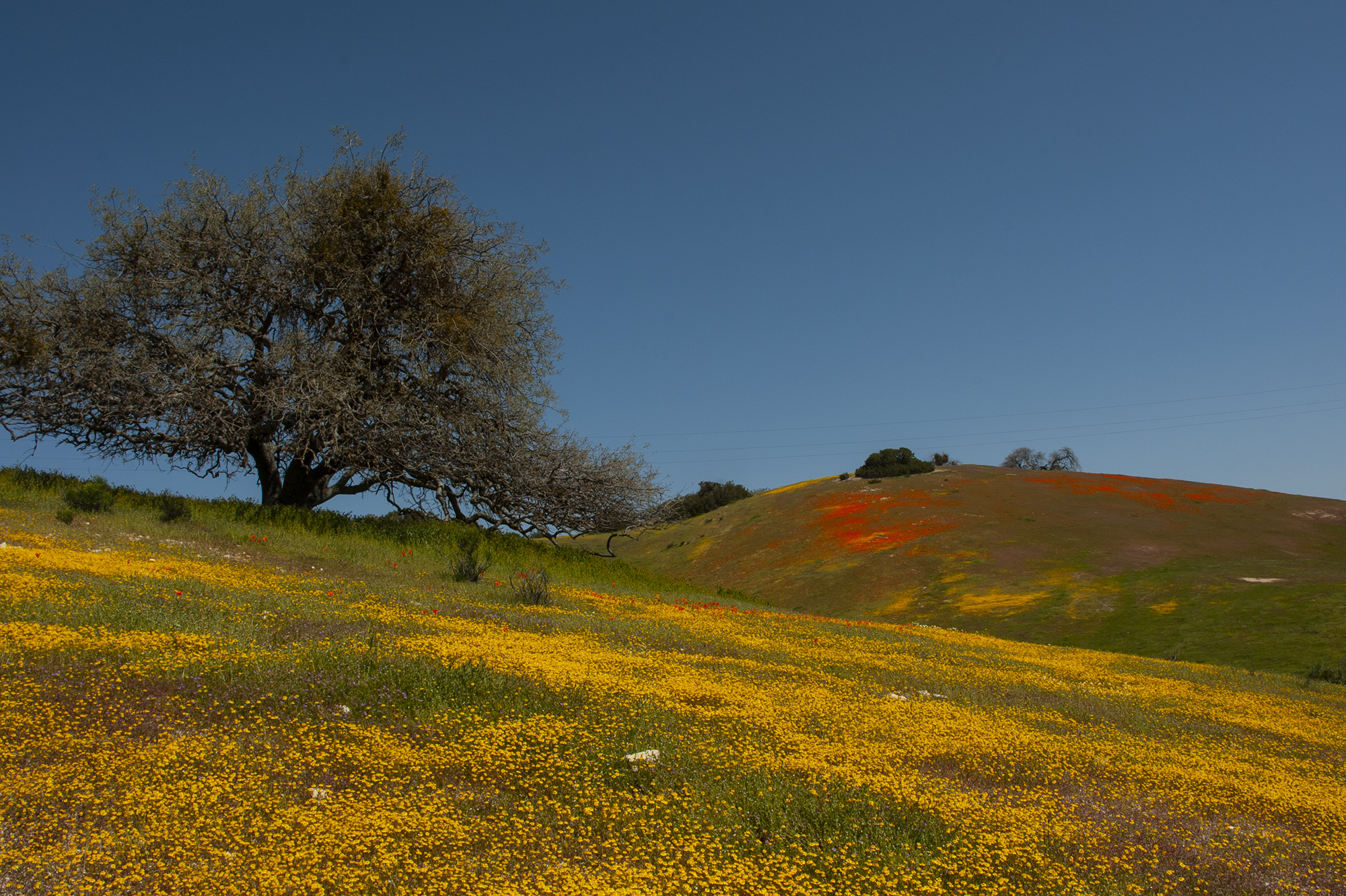

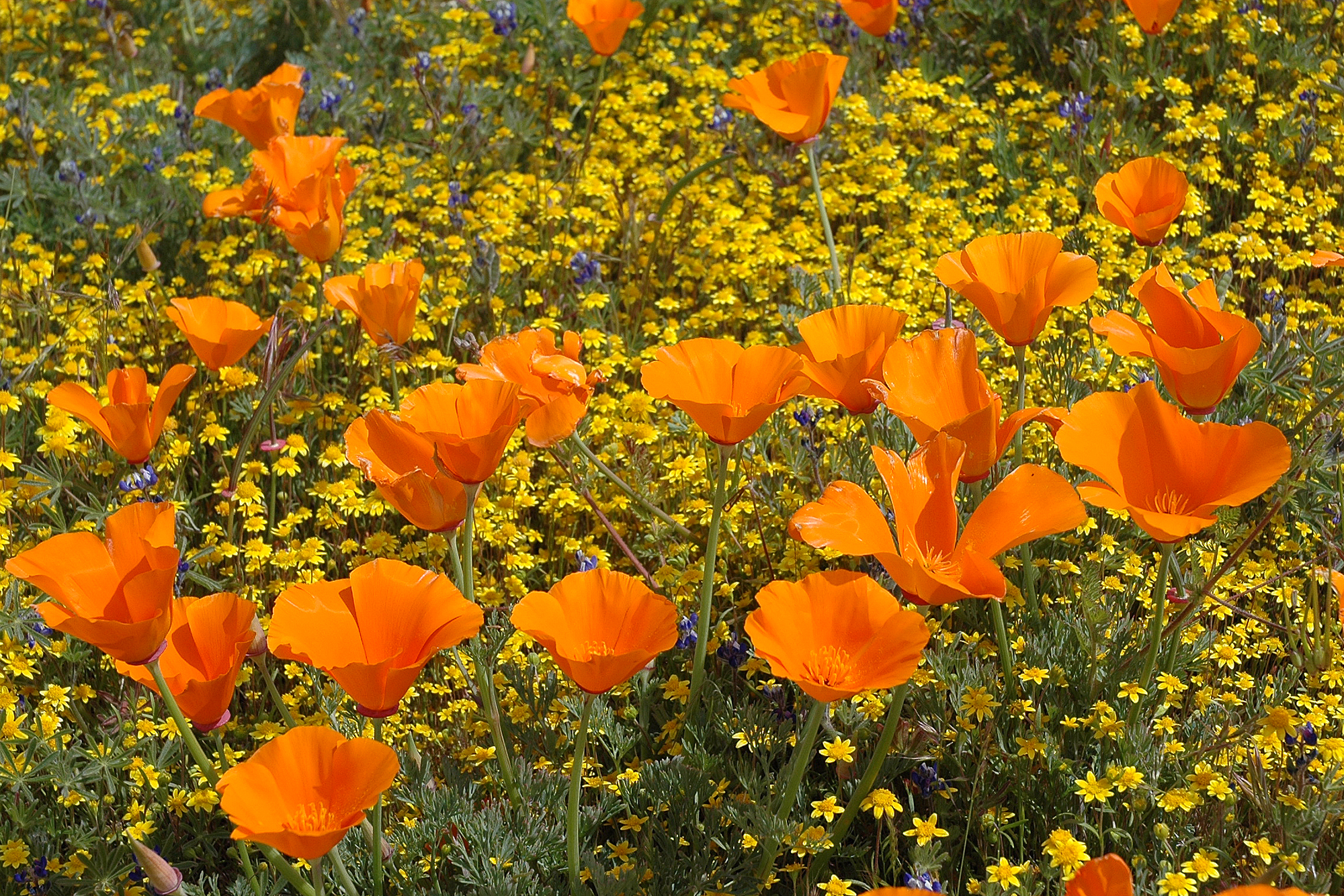
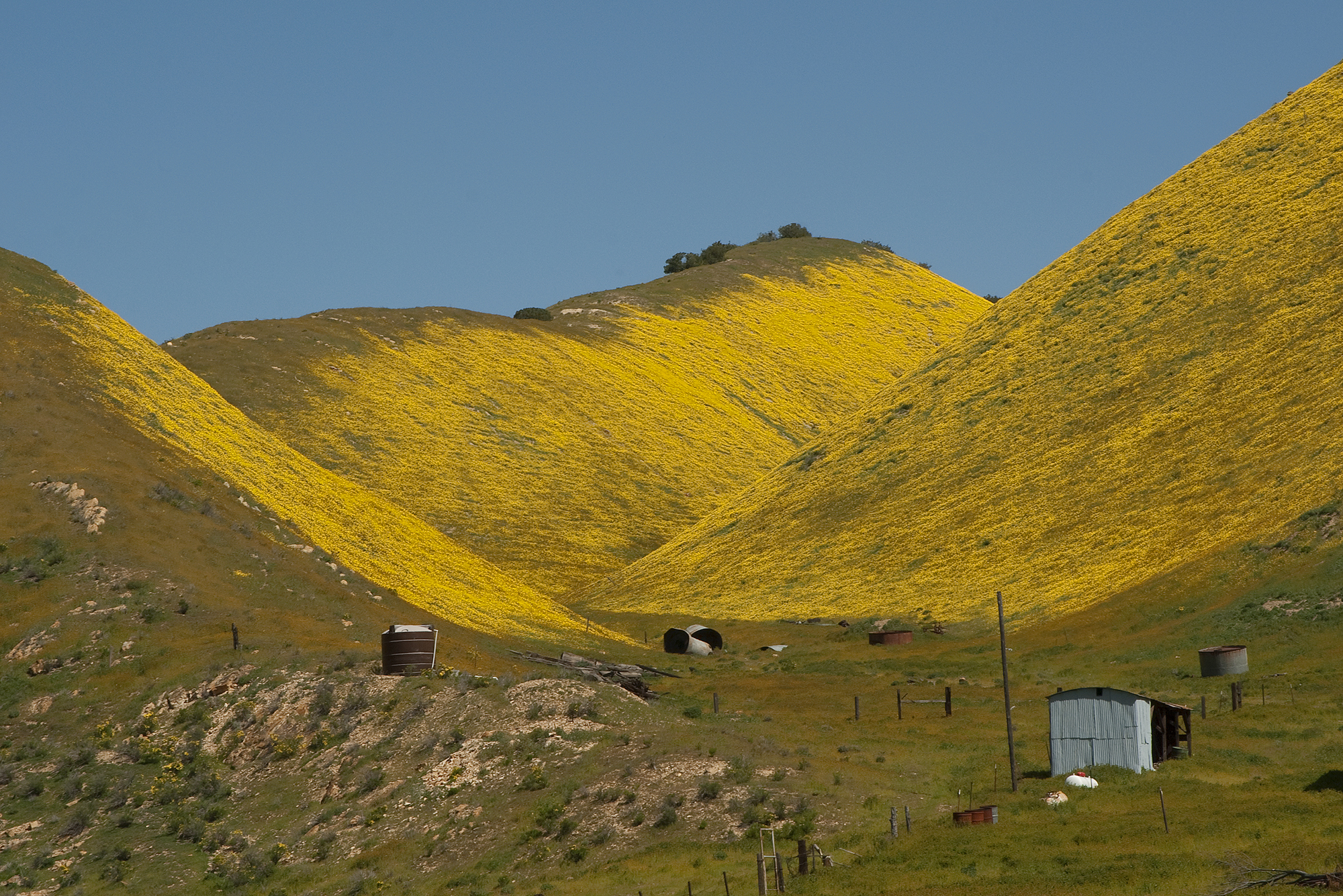

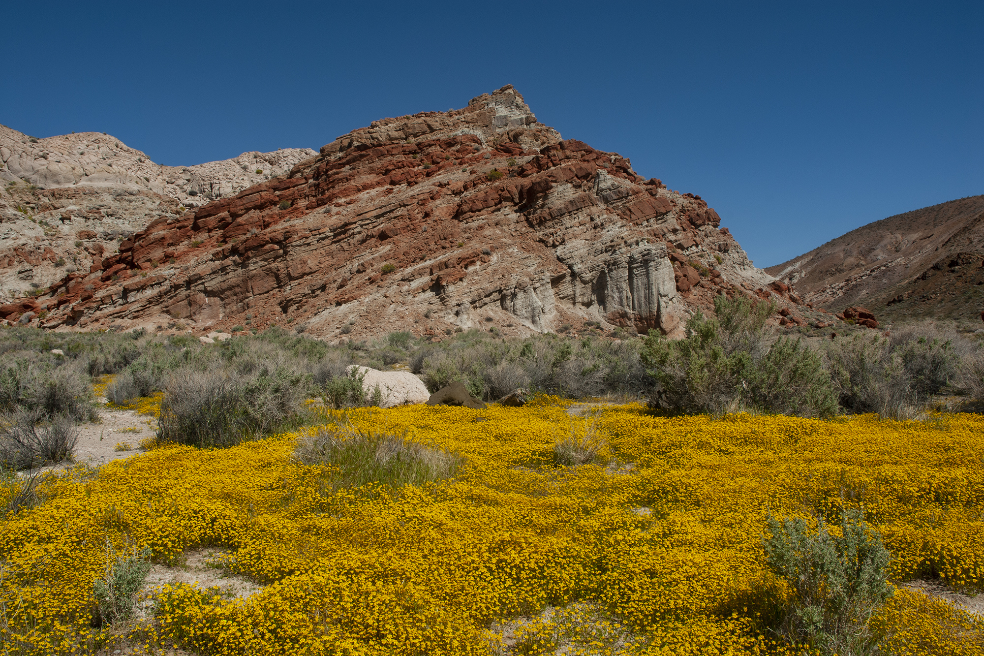
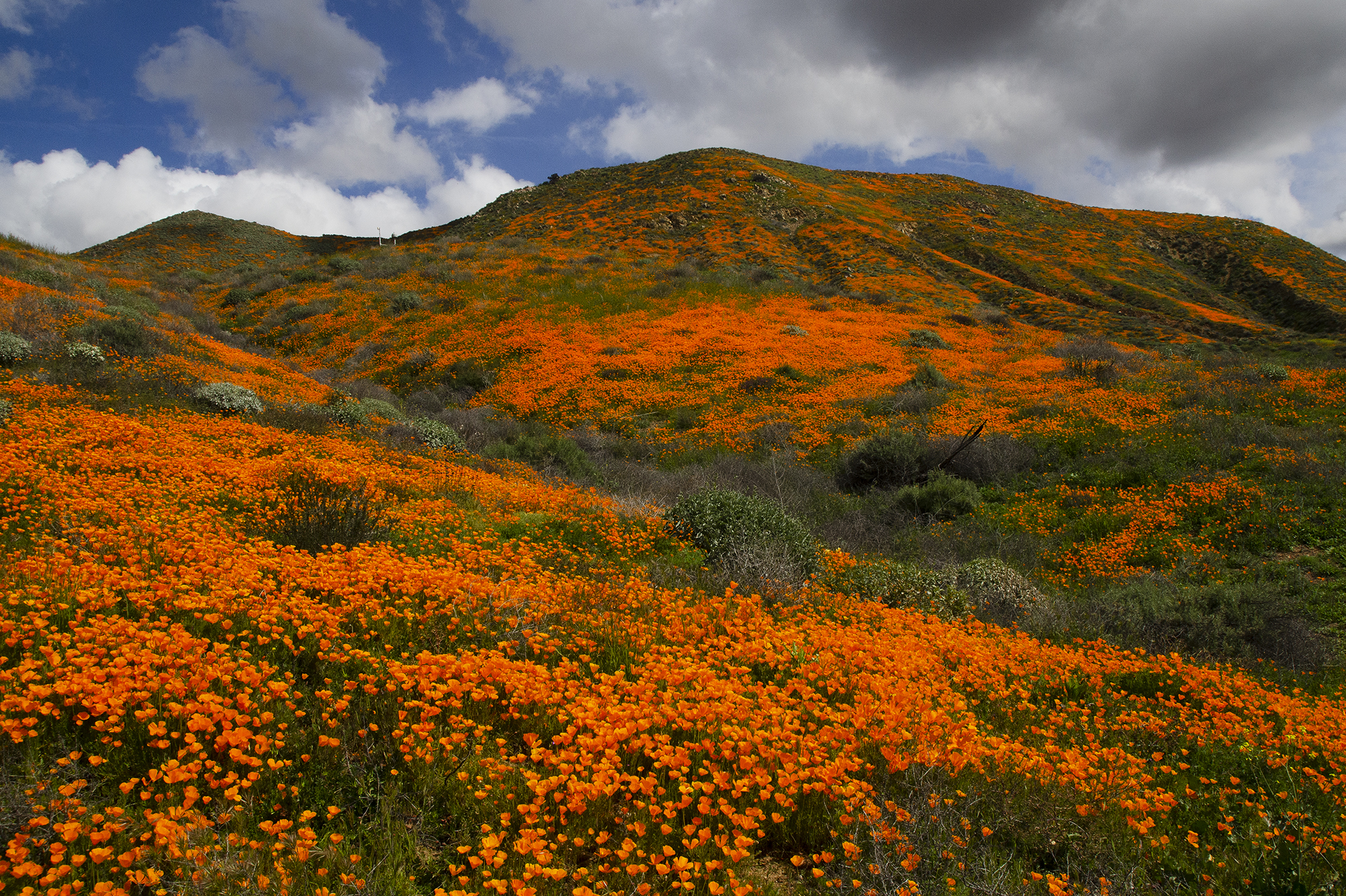


In some Southern California winters the rains hit at just the right time and with the right amount of precipitation, resulting in what we call a “superbloom” in late winter or early spring. It might not happen all over the region at one time, and sometimes it’s only in selected areas. The timing in any given year for a regular bloom is all about elevation and how quickly things warm up with the spring weather after lots of rain, but generally you can see spring blooms in the lower elevations from late February through May, and in the higher elevations from April through June. Superblooms usually happen earlier in response to periods of heavy, soaking rainfall during January and February.
These photos show superblooms in the Temblor Range near McKittrick, Red Rock Canyon, the Antelope Valley California Poppy Reserve, Summit Valley, the Cajon Pass, Angeles National Forest, Temescal Canyon near Lake Elsinore, and Box Springs Mountain in Riverside. The date each photo was taken is shown in the caption. To find the locations where each photo was taken, copy and paste the coordinates into either Google or Google Earth.
- Poppies in the Temblor Range, 3/27/2010:
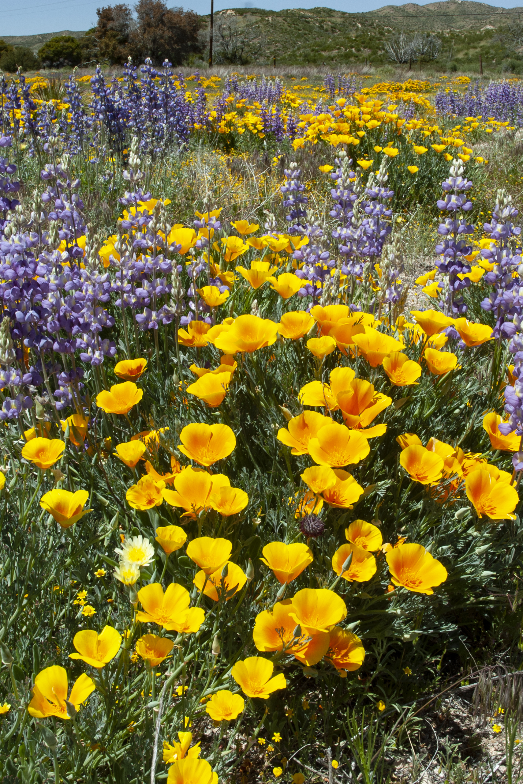
35°20’14.54″N 119°47’32.00″W - Antelope Valley Poppies:
34°45’40.52″N 118°20’33.53″W - Closeup in the Poppy Reserve:
34°43’51.77″N 118°23’50.88″W - Temblor Range Goldfields:
35°20’39.61″N 119°50’27.65″W - Temescal Canyon 2008:
33°42’39.90″N 117°21’47.42″W - Hagen Canyon, Red Rock Canyon Sate Park:
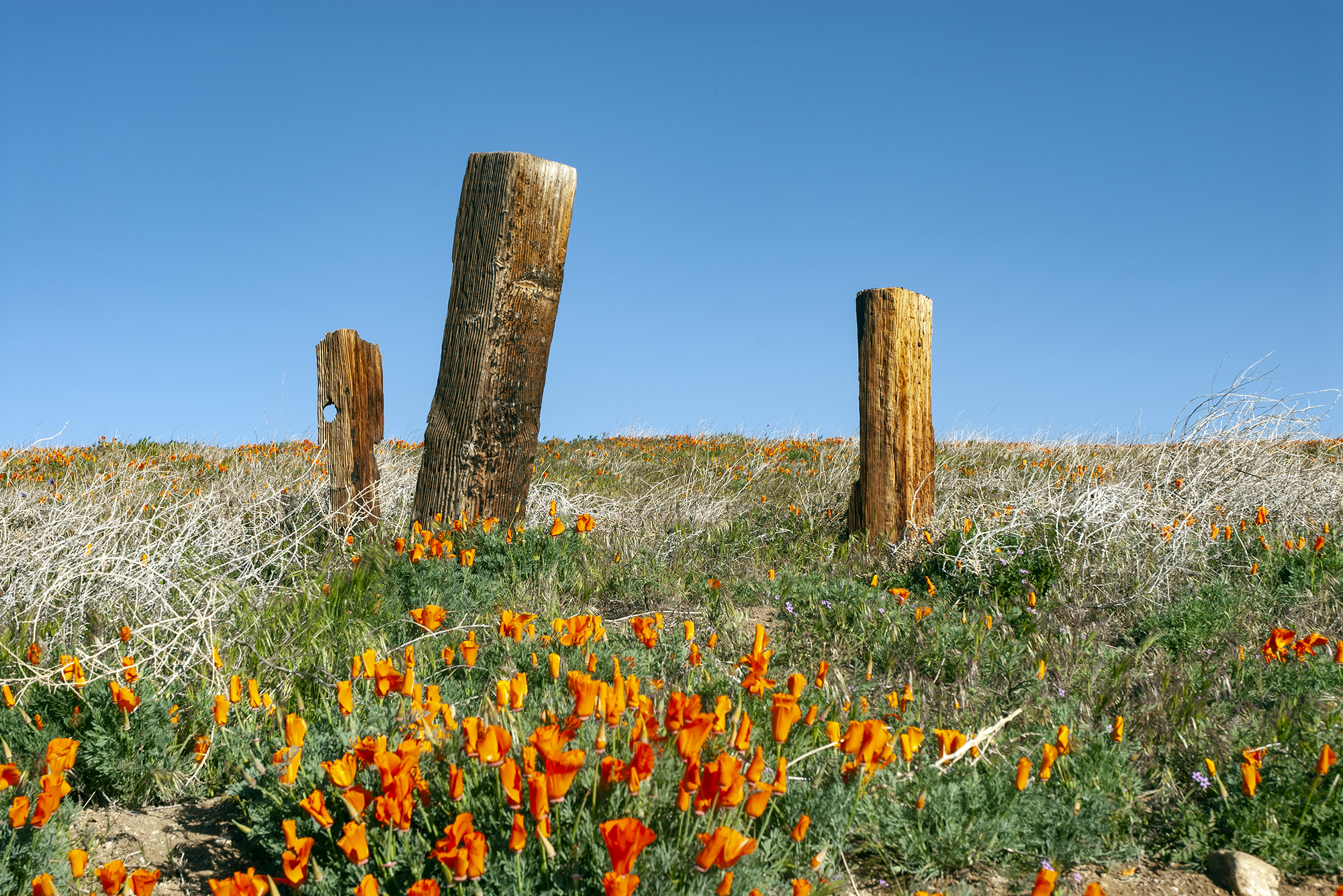
35°20’38.43″N 117°58’46.87″W - Poppies and Fence Posts:
34°43’26.85″N 118°22’54.32″W - Summit Valley:
34°18’53.72″N 117°21’19.72″W - Cajon Pass:
34°19’37.92″N 117°26’23.43″W - Angeles National Forest:
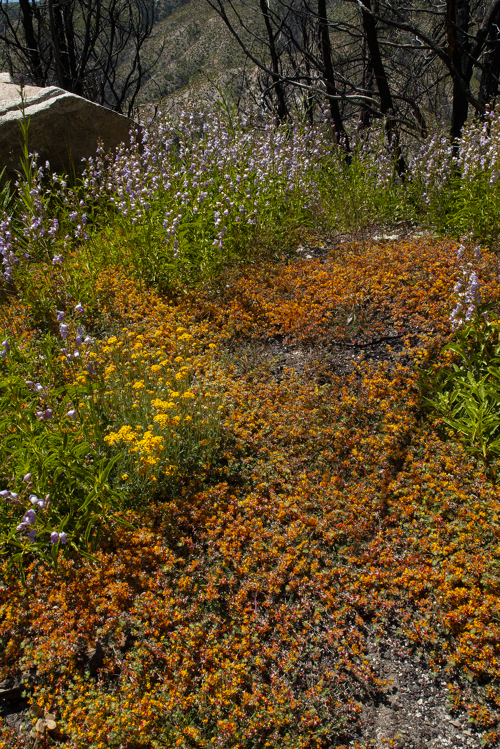
34°17’53.67″N 118° 0’30.03″W - Above Temescal Canyon 2019:
33°44’30.80″N 117°23’27.61″W - Above Temescal Canyon 2019:
33°44’52.89″N 117°23’37.63″W - Box Springs Mountain, Moreno Valley:
33°57’25.89″N 117°16’42.68″W - Above Temescal Canyon 2019:
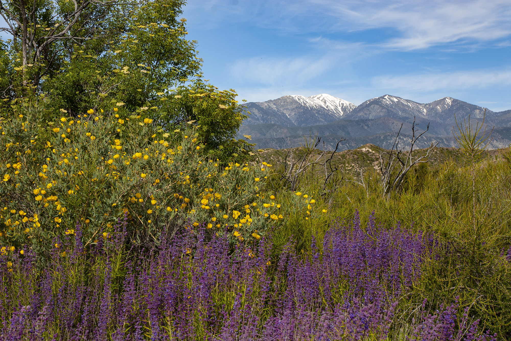
33°44’41.87″N 117°23’35.28″W - Summit Valley w/ Baldy, 2010:
34°18’56.91″N 117°21’7.63″W

